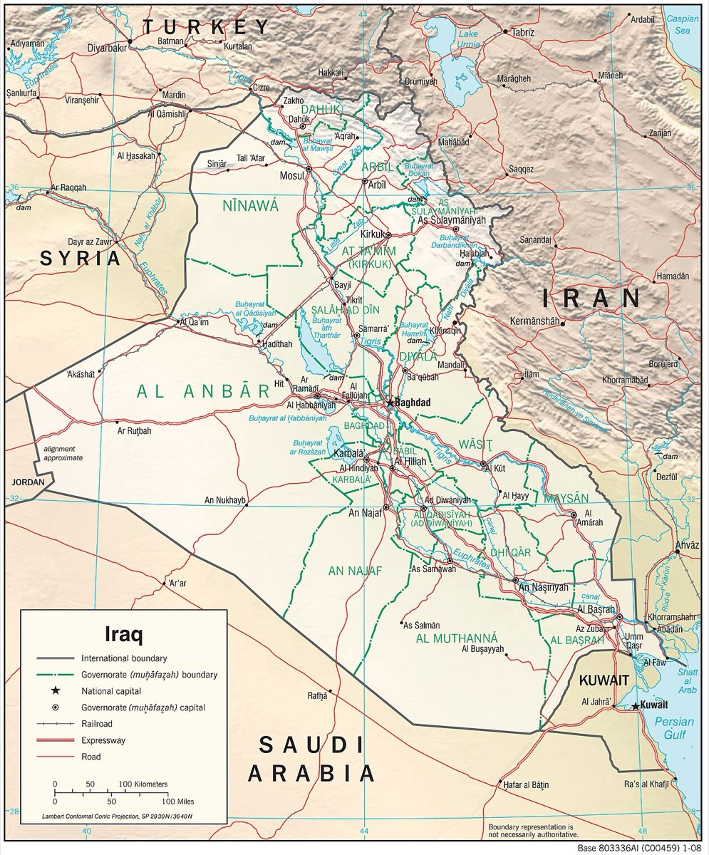
The Republic of Iraq of today, a Middle East country is Cumhuriyetü'l-Iraqıyye. Iraq of today appeared a history stage officially in 1926 is surrounded with Turkey from north, Iran from east, Suriye and Urdün from west, Suudi Arabia, Neutral area nd Basra Gulf from south. The most role of the lands from north and south is shared between latitudes at 37 22' 50'' and 29 05' 20''. The distance between the edge points the land from north to south is 8 17' 32'' and this is approximately 925km. As for the edge points of county's lands in east and west on the east longitule of 48 45' and 38 45'.The distance between the edge point of the lands in east and west of country is 10', that is about 950km.So it's nearly same the distance of the country from north to south as distance from east to west.
The shape of the country on the map is not much correct.The area of Iraq is 438.317km. Iraq is nearly almost a land country.It's connection with sea is with Basra Gulf.The land line of Iraq that reaches it coast line about 60km is nearly 3500km.